|
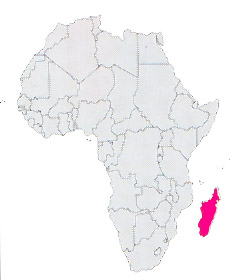
Location: Africa
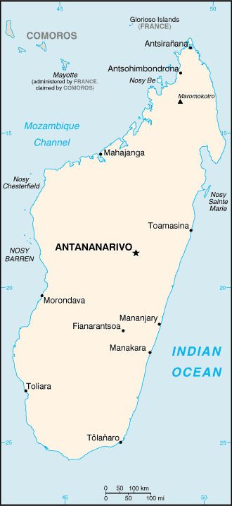
Capital: Antananarivo (1.050.000 inhab.)
Main Cities: Toamasina, Fianarantsoa, Antsirabè, Antsiranana, Mahajanga
Popolazione: 15,900,000
Area: 587,041 km2
Coin: 1 Malagasy franc = 100 centimes
Languages: Malagasy, French
Religions: Animist, Roman Catholic, Protestant, Moslem
The Independence's Year: 1960
Mountains: Maromakotro (2886 m.), Mt.Ankaratra (2638 m.)
Rivers: Betsiboka, Mangoky |
 |
|
The nation is constituted by an island in the Indian ocean, offing the Monzambico.
With his 587 thousand Kmq (almost the double one of Italy) it is the greatest island of the African continent and one of the greatest of the world.
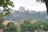
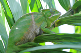
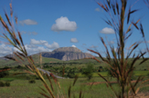
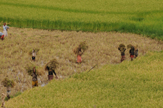
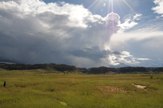
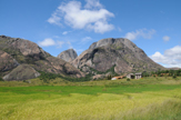
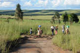
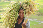
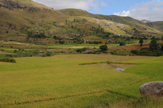
It is a mountainous territory to a large extent of volcanic origin, with climate warm dampness and wide cultivations of rice and manioc and beautiful plantations of coffee (in the turned slopes on the Indian ocean), sugar reed, cotton, cocoa and tobacco.
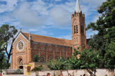
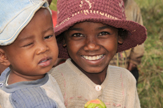
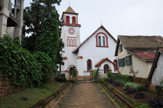
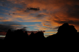
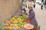
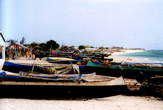
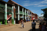
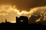
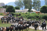
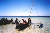
It is an interesting nation, with beautiful landscapes, volcanic lakes, thousand of kilometers of coasts and colored and suggestive markets.
| * Information and news of every kind (and photographic documentation) about Madagascar are to disposition of the partners of the Worldwide Geographic Academy: info@accademiageograficamondiale.com |
|
|