|
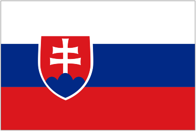
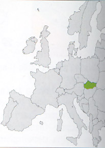
Location: Europe
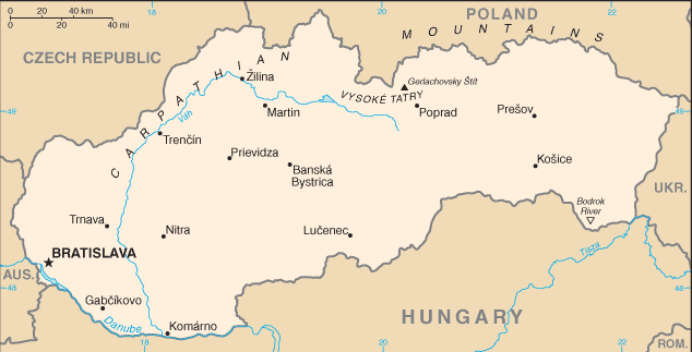
Capital: Bratislava (450.000 inhab.)
Main Cities: Kosice, Zilina, Presov, Poprad, Nitra, Banska Bystrica, Trencin, Ternava
Population: 5,400,000
Area: 49,034 km2
Coin: 1 Slovak koruna = 100 halierov
Languages: Slovak, Hungarian, Czech
Religions: Roman Catholic, Protestant
The Independence's Year: 1993
Mountains: Western Carpathian (Beskid, High Tatras, Low Tatras, Mt.Gerlach 2655 m.)
Rivers: Danube, Hornàd, Hron, Nitra, Vàh, Morava
|
 |
|
Born in 1993 following of the consensual separation from Czech Republic, Slovakia, the entity poor and rural of the ex Czechoslovakia, was able to grow economically up to enter the European community.
It is a prevalently mountain nation with the Beskid, the High and Low Tatras, the White Carpathians and the Ore Mountains that determine a particularly stiff winter continental climate.
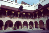
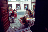
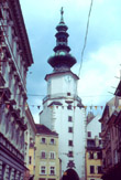
Capital Bratislava is a Central European beautiful town on the banks of Danube, easily reachable from Vienna and Budapest.
| * Information and news of every kind (and photographic documentation) about Slovakia are to disposition of the partners of the Worldwide Geographic Academy: info@accademiageograficamondiale.com |
|
|