|
Location: Asia
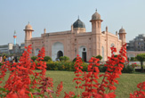
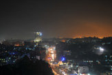
Capital: Dhaka ( 6.100.000 ab)
Main Cities: Chittagong, Khulna, Rajshahi
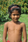
Population: 130,000,000
Area: 147,570 km2
Coin: 1 Bangladesh taka = 100 poisha
Languages: Bengali, English
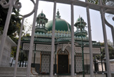
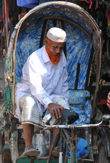
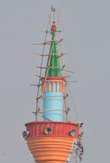
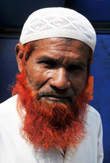
Religions: Muslim, Hindu
The Independence's Year: 1971
Rivers: Gange, Tista, Brahmaputra
 
|
 |
|
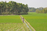
Bangladesh (ex Oriental Pakistan) is constituted from a vast alluvial lowland near the mouths of the Gange and the Brahmaputra.
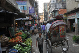
The climate is strongly influenced by the monsoons, during which the country is frequently struck by great floods, that are also revealed often disastrous because of the elevated housing density, one of the tallest of the world: almost 900 inhabitants to Kmq.
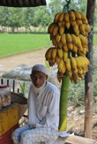
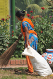
The greatest part of the population (over 130 million inhabitants on a smaller territory of halves Italy) is devoted to the agriculture, whose profitability is hindered by the excessive fragmentation of the land ownerships and by the difficult situation of the alternation of the waters, characterized by great droughts and ruinous floods.
| * Information and news of every kind (and photographic documentation) about Bangladesh are to disposition of the partners of the Worldwide Geographic Academy: info@accademiageograficamondiale.com |
|
|